Click image to continue.
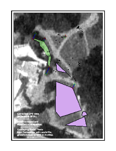
BELOW: A Trimble GPS map I made of landuse and utility condition/type at SFSU, georeferenced to an aerial view of the quad

|


BELOW: A Trimble GPS map I made of landuse and utility condition/type at SFSU, georeferenced to an aerial view of the quad

|

