Click image to return to portfolio main page.
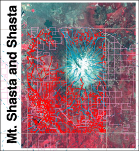
BELOW: A remote sensing GIS of Mt. Shasta and the town of Shasta, covering local flora, hydro features, elevation topology and urban infrastructure. Vector data overlays a 6 band satellite image adjusted for near infared. Signatures not shown.

|

